

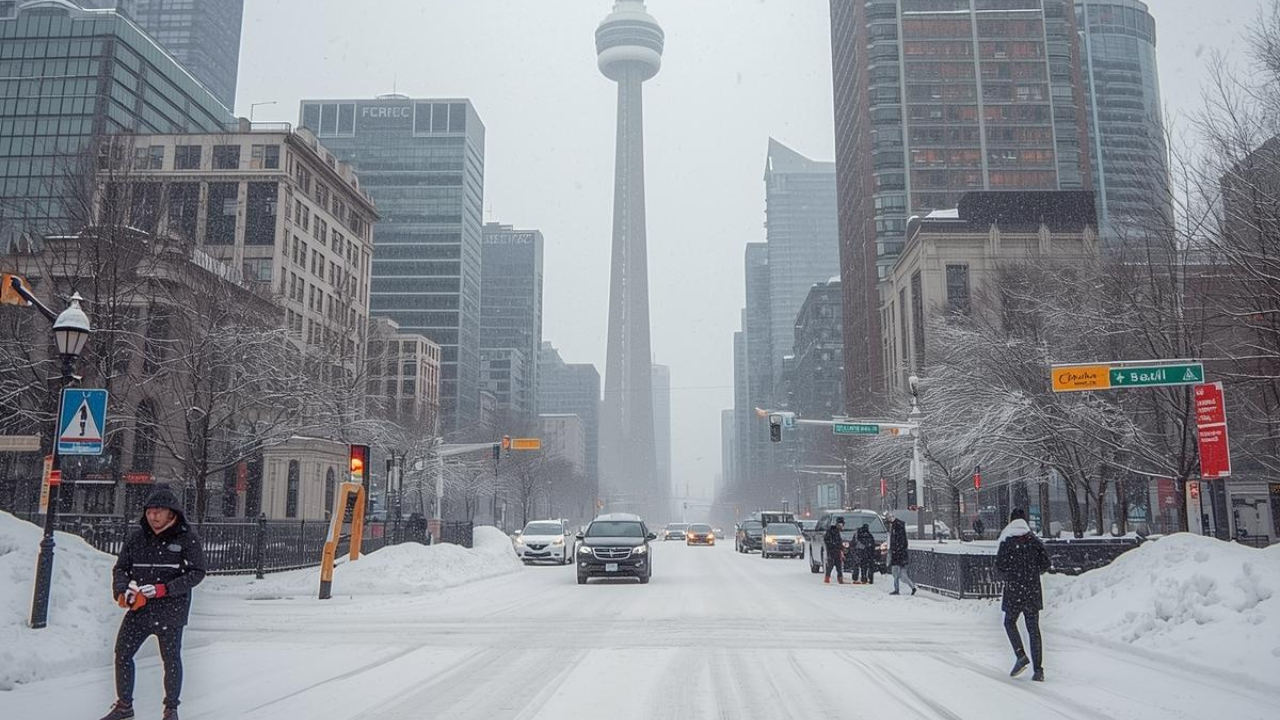


Toronto could be in for its first snowfall of the season this weekend, with some areas in the Greater Toronto Area (GTA) expected to see as much as 15 centimetres of accumulation, according to Environment Canada. The first significant snow system of the season is forecast to arrive Saturday, marking a major transition from fall to early winter conditions across southern Ontario.
The national weather agency says a cold front sweeping in from the northwest will combine with a developing low-pressure system to bring widespread precipitation. As temperatures drop, rain is expected to change to snow overnight, with the heaviest accumulation likely north and east of Toronto.
What areas will be affected
Meteorologists expect snow to begin late Saturday afternoon and continue through Sunday morning. While downtown Toronto may see limited accumulation due to warmer ground temperatures, areas to the north — including Vaughan, Newmarket, and parts of Durham Region — could see significantly more.
| Region | Estimated Snowfall | Conditions |
|---|---|---|
| Downtown Toronto | 2 – 5 cm | Wet snow, may not stick long |
| North GTA (Vaughan, Newmarket) | 5 – 10 cm | Cooler air, greater accumulation |
| Durham & York Regions | Up to 15 cm | Highest snowfall expected |
The Ontario Ministry of Transportation has issued a reminder for drivers to prepare for changing road conditions, particularly along the Highway 401 corridor and other major commuter routes. Slippery surfaces and reduced visibility are likely overnight into Sunday.
Safety reminders and travel advice
Drivers are urged to plan ahead and exercise caution during the first major snow event of the season. Winter tires are strongly recommended, and those commuting early Sunday should expect slower travel times.
Public works crews are already on standby for road salting and clearing operations, while municipal authorities across the GTA encourage residents to avoid unnecessary travel during periods of heavy snow.
Homeowners are also advised to check their carbon monoxide alarms, heating systems, and emergency kits as the colder season begins. These precautions, recommended by Ontario’s Office of the Fire Marshal, can help prevent common winter-related hazards.
Outlook for the coming weeks
Meteorologists note that this weekend’s snowfall is part of a broader pattern suggesting an earlier-than-usual start to winter across Ontario. While total accumulations may vary, colder air masses are expected to persist into mid-November.
Early snow events like this one often signal the onset of lake-effect snow systems — especially for regions bordering Lake Ontario and Lake Simcoe — where colder air moving over open water can generate additional flurries in the days ahead.
As the GTA braces for up to 15 cm of snow, Toronto residents should prepare for slippery roads, early winter driving conditions, and possible delays. With temperatures dropping below freezing overnight and snow likely across multiple regions, staying alert to Environment Canada updates and following Ontario Ministry of Transportation advisories will be key to staying safe this weekend.